Waitukubuli National Trail: Segment 02
About
Location:
Soufriere, Saint Mark Parish, Begin Segment 2
Bellevue Chopin, Saint George Parish, End of Segment 2
Description:
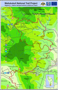 Soufriere to Bellevue Chopin
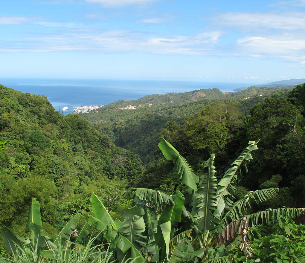
Segment 2 takes you from the Soufriere Sulphur Springs up to Tete Morne, where you will get a lovely view down to the village of Soufriere and the Caribbean Sea in the west (photo at left), and to the Atlantic Ocean beyond Grand Bay in the east.
Then it's up and over to Bellevue Chopin, Dominica's best known organic farming community, where WNT Segment 2 ends.
Useful Information
Trailhead:
Soufriere Sulfur springs
Time Commitment (2):
6 - 6.5 hours
Journey Distance:
11 km / 7 miles
GPS:
Soufriere: 15.234887, -61.349531, Bellvue Chopin: 15.267169, -61.347222
Contact
Mailing Address:
P.O. Box 792, Roseau
Commonwealth of Dominica
Website:
Waitukubuli National Trail
Environment
Elevation:
Begin = 345 ft, End = 1537 ft, Highest point roughly = 2000 ft