Commonwealth of Dominica
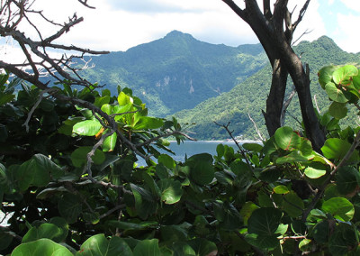
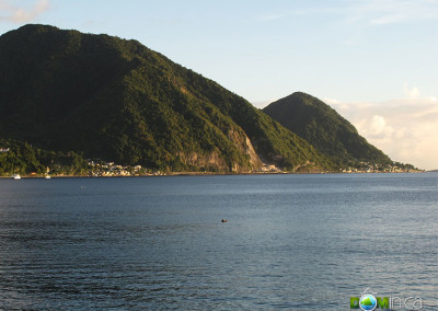
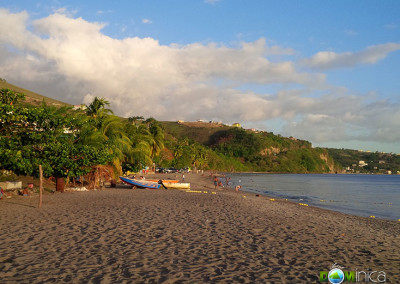
Dominica (pronounced “Dom-in-EE-ka”) is an island of volcanic origin located between the French islands of Guadeloupe and Martinique in the Eastern Caribbean.
The largest and most mountainous of the the Windward Islands, it has an area of 751 sq km (289.5 sq mi). It is 29 miles long and 16 miles at its widest. The formal name Commonwealth of Dominica is often used to distinguish it from the Dominican Republic.
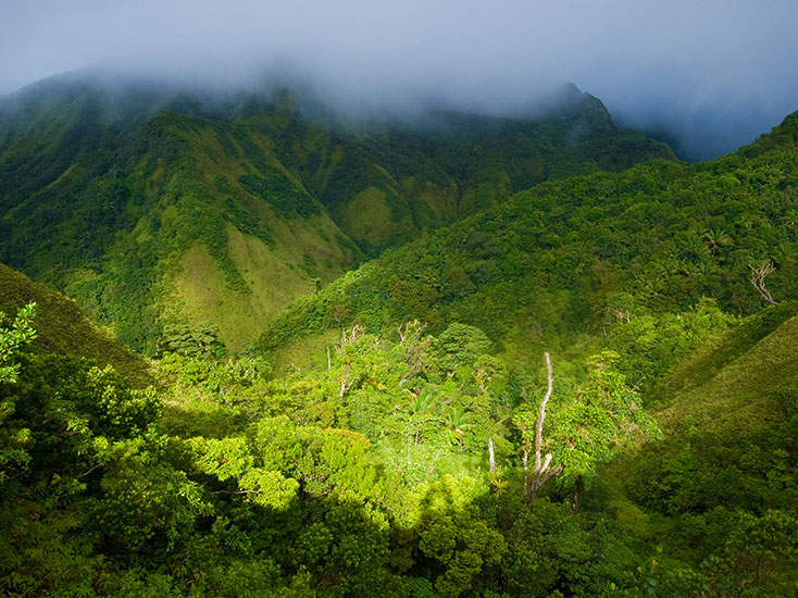
The island has several peaks of over 3,000 ft, the tallest of which are Morne Diablotin (4,747 ft) and Morne Trois Pitons (4,600 ft).
Official name: Commonwealth of Dominica
Capital: Roseau
Size: 751 sq km (289.5 sq miles)
Geographic coordinates: 15˚ 20’ N, 61˚ 22’ W
Elevation: 0 – 1,447 m or 0 – 4,747 ft
Terrain: Mountainous (volcanic origin)
Climate: Tropical marine, mild seasonal variation although high rainfall during wet season.
Coastline: 148 km or 92 miles
Water bodies: Atlantic Ocean, Caribbean Sea
Population: 73,449 (2014)
Language: English, French Patois (“Kwéyòl“)
Currency: Eastern Caribbean Dollar (XCD)
Major Urban areas: Roseau, Portsmouth
Government Type: Parliamentary democracy
National Symbol: Sisserou Parrot (see more national symbols)
Explore more about Dominica
Sort through the list below and explore this wonderful country
